Icon
Command
Shortcut Key
Toolbar

BATCHLOADIMAGE
Insert
Load a batch of geo-referenced images.
|
Icon |
Command |
Shortcut Key |
Toolbar |
|
|
BATCHLOADIMAGE |
|
Insert |
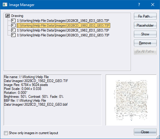
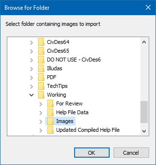
This function allows you to load all the geo-referenced image files in a specific folder into a survey drawing.
The images are automatically placed at the back of the draw order, so as not to cover any other drawing entities.
 This function is only applicable to drawings that have survey coordinates.
Procedure
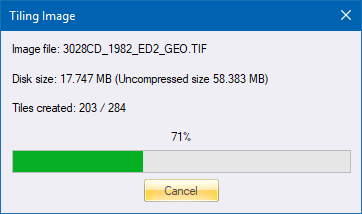
Thereafter, each image file is inserted into the drawing.