Icon
Command
Shortcut Key
Toolbar

DIMSURVEY
Dimensions
Add survey dimensions to a drawing.
|
Icon |
Command |
Shortcut Key |
Toolbar |
|
|
DIMSURVEY |
|
Dimensions |
Survey dimensions are intended for the dimensioning of cadastral plans.
For other uses, the bearing part of the dimension may cause confusion, because it does not necessarily match a polar move. The bearing depends on the format above/below style property and will change accordingly if this property is changed.
Survey dimensions have their own Survey Dimension settings, including options to define the number of decimals according to the distance between the measured points.
You can override both the bearing and distance values using the Properties Bar.
 The survey dimensions use the current pen colour.
Procedure
Indicate start position of dimension
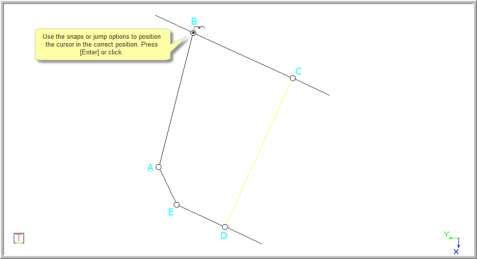
Indicate end position of dimension
A rubberbanded preview of the dimension is drawn. The dimension aligns itself between the two indicated points.
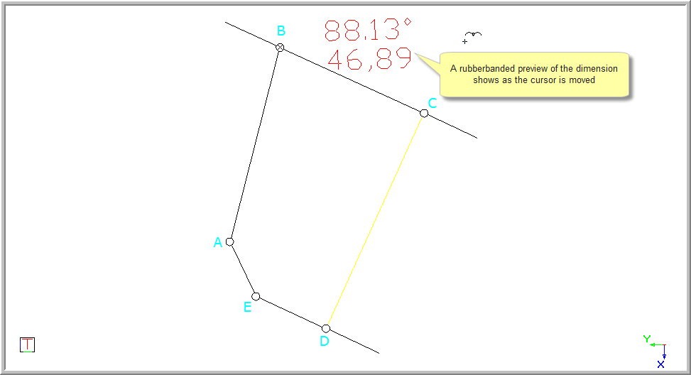
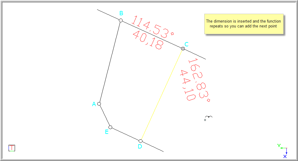
Indicate end position of dimension
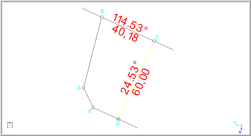
You can override both the distance and bearing value using the Properties Bar.